The WMO expects a strong El Nino to strengthen through September 2026, raising the risk of extreme weather worldwide
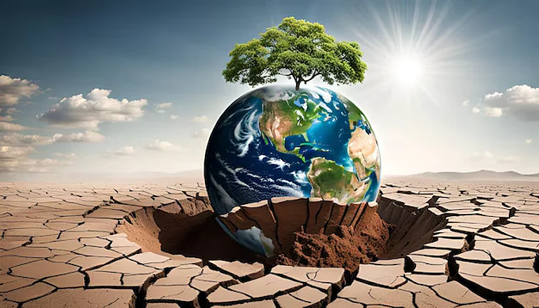
Droughts, floods and heatwaves could disrupt agriculture, food production, water supplies and energy demand across several regions
Governments and businesses are ramping up early warning and preparedness efforts to reduce climate-related economic risks
The World Meteorological Organization (WMO), The United Nations weather agency on Friday announced that El Niño developing in the tropical Pacific Ocean, is expected to strengthen rapidly around July and September 2026.
The forecasts are suggesting sea surface temperatures might rise 2°C above average level, which is associated with a strong El Niño Effect.

1 June 2026
Get the latest issue of Outlook Business

As the scientists and experts warns about an El Niño officially underway, the effects could be felt across multiple continents in the upcoming months.
El Niño will severely affect temperature and rainfall patterns across the Globe.
What Is El Niño?
El Niño is the warm phase of the El Niño-Southern Oscillation which is a major climate cycle that can influence weather patterns around the globe.
It develops when sea surface temperatures in the central and eastern equatorial Pacific rise above its normal levels. The event generally emerges every two to seven years and can last nine to twelve months.
Although it begins in the Pacific, El Niño could disrupt rainfall, temperature and storm patterns far beyond the region by altering atmospheric circulation.
Its impact is not uniform and keeps changing. The effects depend on the strength of the event and its interaction with other climate systems like, the Indian Ocean Dipole, due to which different countries often face different effects in the same El Niño year.
Why Is El Niño Disturbing?
Beyond the Pacific, sea surface temperatures are expected to stay above average in the Indian Ocean and the tropical Atlantic Ocean, according to WMO forecasts.
These warmer waters could affect rainfall patterns, tropical cyclone activity, and broader regional climate conditions. Scientists will watch closely over the coming months to see how these anomalies interact with El Niño.
As the speculations and warnings escalate, governments and agencies are increasing their preparations. A strong El Niño can influence food production, water resources, energy demand, and disaster risks, which makes early warning and preparation essential.
After the onset of the second half of 2026, experts will be closely watching for signs of soaring temperatures, changing rainfall patterns, and an increase in the frequency of weather events across the globe.
How Extreme Could Weather Get?
According to the WMO, as the El Niño strengthens, it is expected to influence weather patterns far beyond the pacific Ocean.
Celeste Saulo, Secretary General of WMO, warned about this climate phenomenon and pointed out its harmful extremes in many regions. "This will intensify the chances of drought and heavy rainfall and increase the risk of heatwaves on land and marine heatwaves in many regions of the world," he said.
The agency has already launched a coordinated global response including, governments, humanitarian organizations, UN agencies, and climate sensitive sectors like, agriculture and public health.
The goal is set to enhance seasonal forecasting, climate services and early warning systems for preparing the countries for better retaliation.

Which Regions Will Get Affected?
Meteorological experts have assumed that El Niño will reshape temperature and rainfall patterns in different parts of the world.
The WMO forecasted that the areas expected to receive below-normal rainfall are: parts of the Indian subcontinent, much of Australia, parts of the tropical Indian Ocean, the Greater Horn of Africa, some regions of Central America, the Caribbean, and northwestern South America.
Reduced rainfall in these prone areas could increase the risk of water shortages, agricultural stress, and subsequently, droughts.


Whereas, the areas expected to receive more rainfall are: the central and eastern equatorial Pacific Ocean and parts of the northern Gulf of Guinea in Africa.
In some areas, heavier rainfall could raise the risk of floods and related disruptions.
In addition, the WMO also expects contrasting weather conditions across Europe, suggesting that Southern Europe could experience wetter-than-average conditions, while Northern Europe could be drier than normal.
Either way, the organization noted that the chances are relatively lower than the forecasts for other regions.